
Trip Highlights
- Fly over the Mahabharat foothills to Nepalgunj, then climb to Simikot (2,910 m), a short mountain airstrip that handles planes and helicopters all morning.
- Spend 2 days in Kathmandu visiting Pashupatinath, Guyeshwori Shakti Peeth, Budhanilkantha, Swayambhunath, Dakshinkali, the Kailashnath Mahadev Statue and Doleshwar Mahadev.
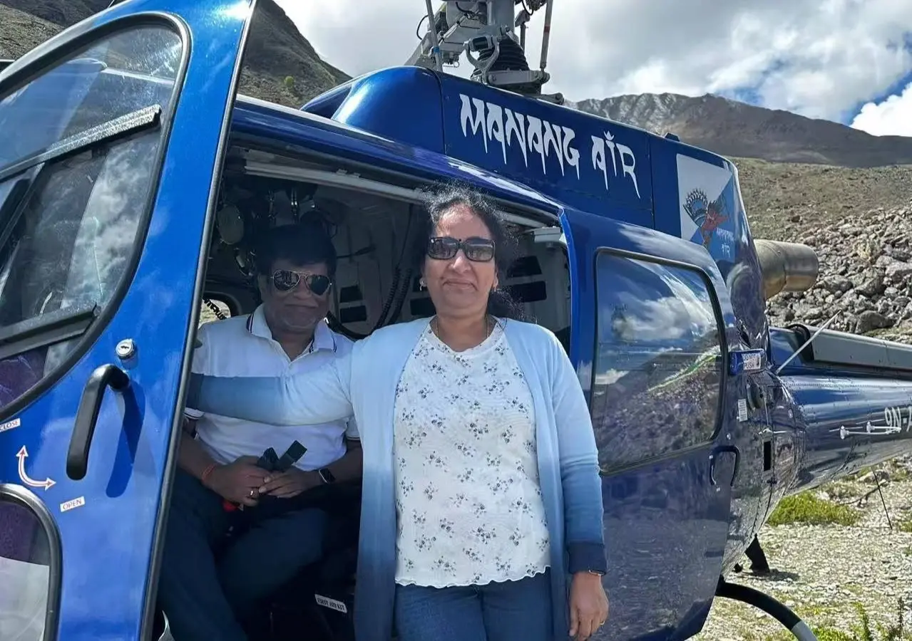
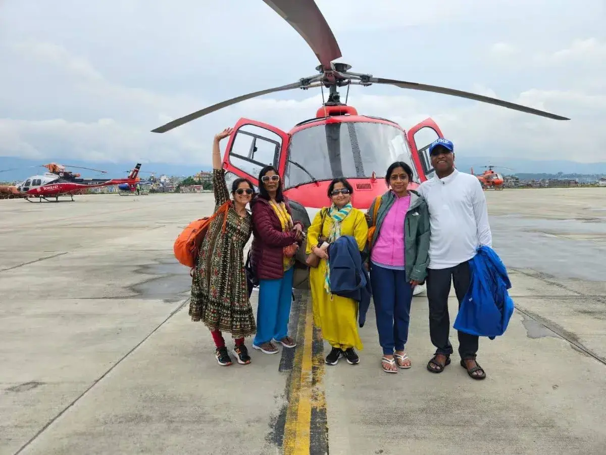
- A helicopter lifts you above the Humla Karnali gorge to Hilsa (3,700 m), the last village in Nepal, in about 20 minutes.
- Walk across a footbridge that doubles as the Nepal-Tibet border, and meet your Tibetan guide on the far bank.
- Spend a full day in Taklakot (Purang) letting your body settle before the lake and the kora.
- Sleep beside Lake Manasarovar (4,590 m), the lake that Hindu tradition says was born from the mind of Brahma.
- Join a puja and hawan on the Manasarovar shore, with materials arranged by our team and a shower tent with warm water set up before the ritual.
- Walk the 52 km Kailash kora in 3 days, through Yama Dwar, Dirapuk and Zuthulpuk.
- Cross Drolma Pass at about 5,636 m, the highest point of the journey.
- Reach Kathmandu on day 11 through a same-day chain of vehicle, helicopter and 2 flights.
Trip Overview
Fifty-one kilometers! That is all that separates the airstrip at Simikot from the Tibetan border at Hilsa, yet for centuries pilgrims needed about 4 days of hard walking to cover it.
Today, a helicopter flies the same gorge in roughly 20 minutes. That single flight is why the Kailash Mansarovar Helicopter Tour has become one of the fastest-growing ways to reach Mount Kailash!
The helicopter is the easy part of this journey. Lake Manasarovar still waits at 4,590 m, the kora still measures 52 km, and Dolma La Pass still rises to about 5,636 m. The thin air up there does not care how you arrived!
So, who is this route really for? It suits a devotee in their 60s or 70s who dreams of the lake but dreads the trail. It suits a manager who has 12 days and not a day more. It suits a traveller with stiff knees who wants a pony, not a promise. And it suits a pilgrim who has waited 30 years and refuses to arrive exhausted!
Each of them asks a different question before booking, and each deserves an honest answer. In this guide, we give those answers, including the uncomfortable ones.
We explain what your first night in Taklakot does to your body, and why the weather, not the calendar, decides your schedule!
Who Chooses This Route, and Why?
Honestly, different kinds of trekkers choose our Kailash Mansarovar Helicopter Tour package. Let us get into them one by one:
- Senior pilgrims choose it because the old approach is a 4-day walk along the Humla Karnali, and a 20-minute helicopter flight removes that walk.
- Professionals choose it because 12 days from Kathmandu to Kathmandu fits a normal leave application!
- Travelers with limited mobility choose it because ponies and porters can carry them where the path turns steep.
- Devotees choose it because they arrive at the lake and the mountain with energy left for prayer.
Well, Humla itself sets the stage! It is one of the most remote districts in Nepal, with no road connection to the rest of the country, so planes and helicopters are not a luxury here. They are the supply line!
Reality of the Simikot Kailash Route: Altitude, Weather, and Health Risks
Speed has a price, and you pay it in altitude! On day 5, you leave Nepalgunj at about 150 m and sleep in Taklakot at about 3,900 m.
Medical guidelines call that kind of jump high-risk. Day 6 is a full rest day for exactly this reason, and we screen guests before booking so that nobody learns about the risk at the airstrip.
Weather is the second unmentioned factor. The whole journey is a chain of flights, a helicopter, a border and vehicles, and a single grounded aircraft can disrupt the plan. At Alpine Eco Trek, our local team builds its advice around that reality.
There is a third point we raise early! Some travelers should not book this route at all. Unstable heart disease, poorly controlled blood pressure, severe asthma or a recent chest infection are examples where we may advise a slower alternative or a doctor's clearance first. We would rather say this in an email than at Hilsa!
How Alpine Eco Trek Shapes Your 12 Days
Every day has a reason! Day 6 exists for acclimatization, day 9 starts before dawn to cross the pass in morning light, and you sleep lower than the pass that night.
The return on day 11 is a single long day, so we recommend 2 spare days after the program.
Your Tibetan guide and our Nepali team accompany you throughout the journey. For this Simikot departure, our Nepali staff travels with you from Kathmandu, helping coordinate the flights, helicopter transfers, permits and daily arrangements.
Our experienced guides and insured staff understand the practical needs of this remote pilgrimage, while our own expert cooks specialize in pure vegetarian Indian food, including South Indian and Nepali dishes.
Key Attractions of This Trip
Pilgrimage routes are judged by their destination, but this one is also a lesson in geography.
In 11 days, you pass from 150 m to 5,636 m, from sweating plains to frozen passes, and through Hindu, Buddhist, Bon and Jain sacred ground. Here is what each place offers.
Kathmandu: Two Days of Temples and Sacred Sites
Your first 2 sightseeing days stay inside the Kathmandu Valley, and they give you a gentle start before the altitude. Day 2 covers Pashupatinath, Guyeshwori Shakti Peeth, Boudhanath, Budhanilkantha and Swayambhunath.
Day 3 covers Dakshinkali, the Kailashnath Mahadev Statue and Doleshwar Mahadev. Together they follow the same Shiva and Shakti thread that leads you to Kailash.
At Pashupatinath, you watch the Bagmati ghats from the east bank. The golden roofs, the smoke and the ringing bells show you how Hindu devotion treats death as a transition. That idea returns at Yama Dwar, so the temple is a good first lesson. Pashupatinath also carries UNESCO World Heritage status.
Guyeshwori Shakti Peeth stands close by on the Bagmati. Tradition holds that the knees of Sati fell here, which makes it one of the most respected Shakti shrines in the valley.
Boudhanath teaches a different skill. Tibetan families circle the great white stupa all day, always clockwise, and the pace is slow and steady. Walk one round beside them and your body learns a rhythm that you will need on the kora.
Budhanilkantha lies at the northern edge of the valley. Its large reclining Vishnu is carved from a single black stone and rests in a pool. Rules for the inner area can differ for non-Hindus, so follow your guide’s instructions.
Swayambhunath looks over the valley from a hilltop and is known for its resident monkeys. Climb its steps slowly and treat them as a mild test of breath, because the same habit helps on the kora.
On Day 3, Dakshinkali, a temple of the goddess Kali south of the city, is busiest on Tuesdays and Saturdays. The Kailashnath Mahadev Statue near Sanga is a tall Shiva figure facing the eastern hills, and it works as a quiet preview of the mountain you are traveling to.
Doleshwar Mahadev at Suryabinayak is where tradition says the head of Kedarnath Shiva is worshiped.
Nepalgunj and Simikot: Two Airports at Opposite Ends of Nepal
Nepalgunj lies in the southern plains, and it feels closer to India than to the Himalaya. The air is warm and thick, the bazaar hums and the Bageshwori Temple draws evening worshipers.
Simikot is the opposite! It sits at 2,910 m in Humla, where stone houses cling to hillsides and the airstrip is the centre of town.
Humla has long been a trade corridor, with salt and wool moving south and grain moving north across the Tibetan border. That history explains why a trail, and later an airstrip, reached this far.
Hilsa and the Border Bridge
Hilsa is the last village in Nepal, and the border is a footbridge across the Karnali. Prayer flags mark the Nepal bank. A few lodges, a customs post and an Armed Police post make up the village.
On the far side, paved roads and telecom towers show how differently the 2 governments have developed their frontier. The crossing takes minutes, but the formalities may take hours. It is a good moment to practice patience, a skill the kora rewards!
Look for the small prayer-flag poles on the Nepal bank and the pale concrete of the Chinese side. Few places show the shift between 2 worlds so clearly in so few steps.
Your passport and permits are checked carefully, and your group crosses together, so nobody races ahead. Our Kailash Tour Trek representative shall help you out!
Taklakot and the Road to the Lake
Taklakot, also called Purang, has been a meeting place for traders from Humla, India and Tibet for centuries. A ruined fortress called Takla Khar watches over the town. Spend your rest day looking at it from the road and wandering the old market.
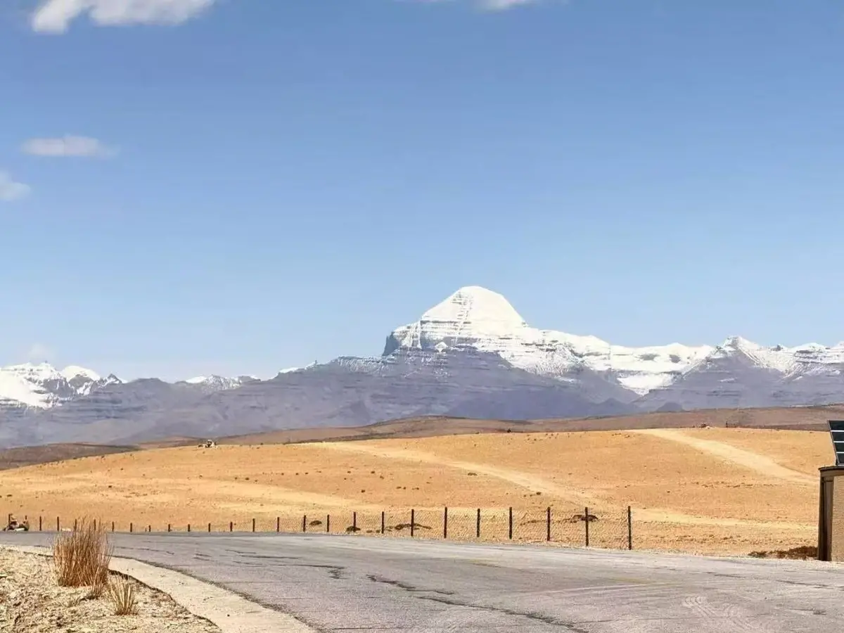
On day 7, the road leaves the valley and climbs onto the open plateau. Gurla Mandhata rises to 7,694 m on the left, and the lake basin opens beyond it!
The same river that flows past Taklakot is the Karnali, which later joins the Ganges system in India. That geography explains why Hindu pilgrims treat this country as the source of a sacred watershed, not just a remote border region.
Lake Manasarovar: Why Four Faiths Share One Shore
The name means “lake of the mind.” Hindus say Brahma created it from his thoughts, Buddhists link it to the pure lake Anavatapta, Jains hold the region sacred, and followers of Bon revere the area too!
On a busy morning, you may see all 4 traditions praying along the same shore. Something that you’ll never see in any other part of the world for sure!
The color of the water shifts with the sun, from pale turquoise to deep blue. Rakshas Tal, the saltwater lake just west, lies beside it like a darker twin.
Moreover, Chiu Gompa, a small monastery on a rock, offers the best view. Take a bottle for holy water, but do not drink from the lake!
The lake sits at about 4,590 m, which makes it one of the highest freshwater lakes in the world. Early morning and late afternoon give the softest light, and the shore is quietest before the first vehicles arrive.
Please do bring a hat and polarized sunglasses, because glare off the water is strong!
Puja, Hawan and the Lake Parikarma
Our team brings the puja materials and finds a suitable spot on the shore for the puja and hawan.
Guests are expected to give a gratitude offering to the Pandit ji. Before you sit down for the puja, our team sets up a shower tent and provides warm water, so you can bathe comfortably in the cold!
A dip in the lake is not allowed. During the lake parikarma by Eco-bus, our guide finds a quiet corner where you can walk into the water up to knee level. This keeps the lake respected and keeps you safe in the cold.
Darchen, Yama Dwar and the Face of Kailash
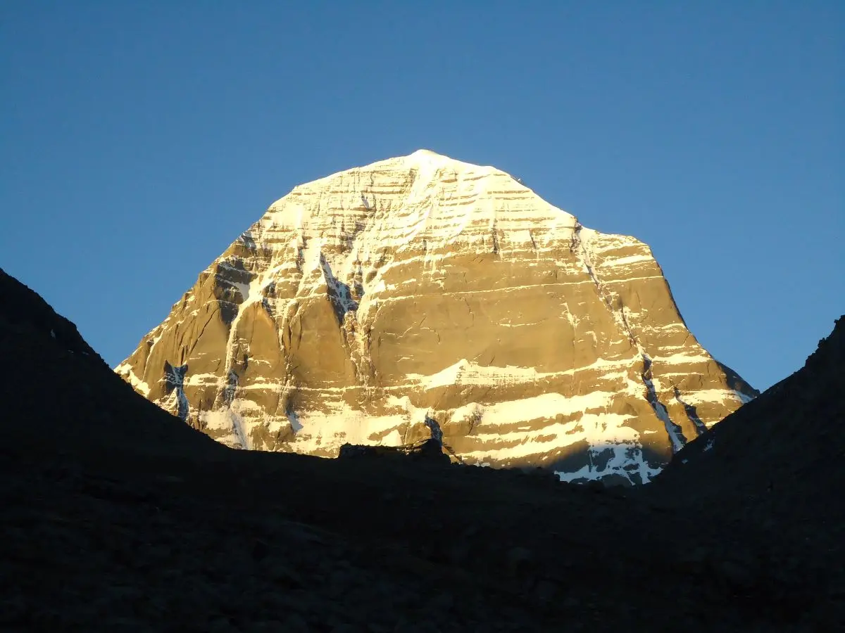
Mount Kailash stands at 6,638 m, and nobody has climbed it. The region around it feeds 4 great rivers of Asia, which helps explain its sacred status.
Darchen, at 4,670 m, is the base town for the circuit, and the walk itself starts at Yama Dwar, 6 km away by vehicle. Yama Dwar, just beyond, is the gate where pilgrims symbolically leave death behind.
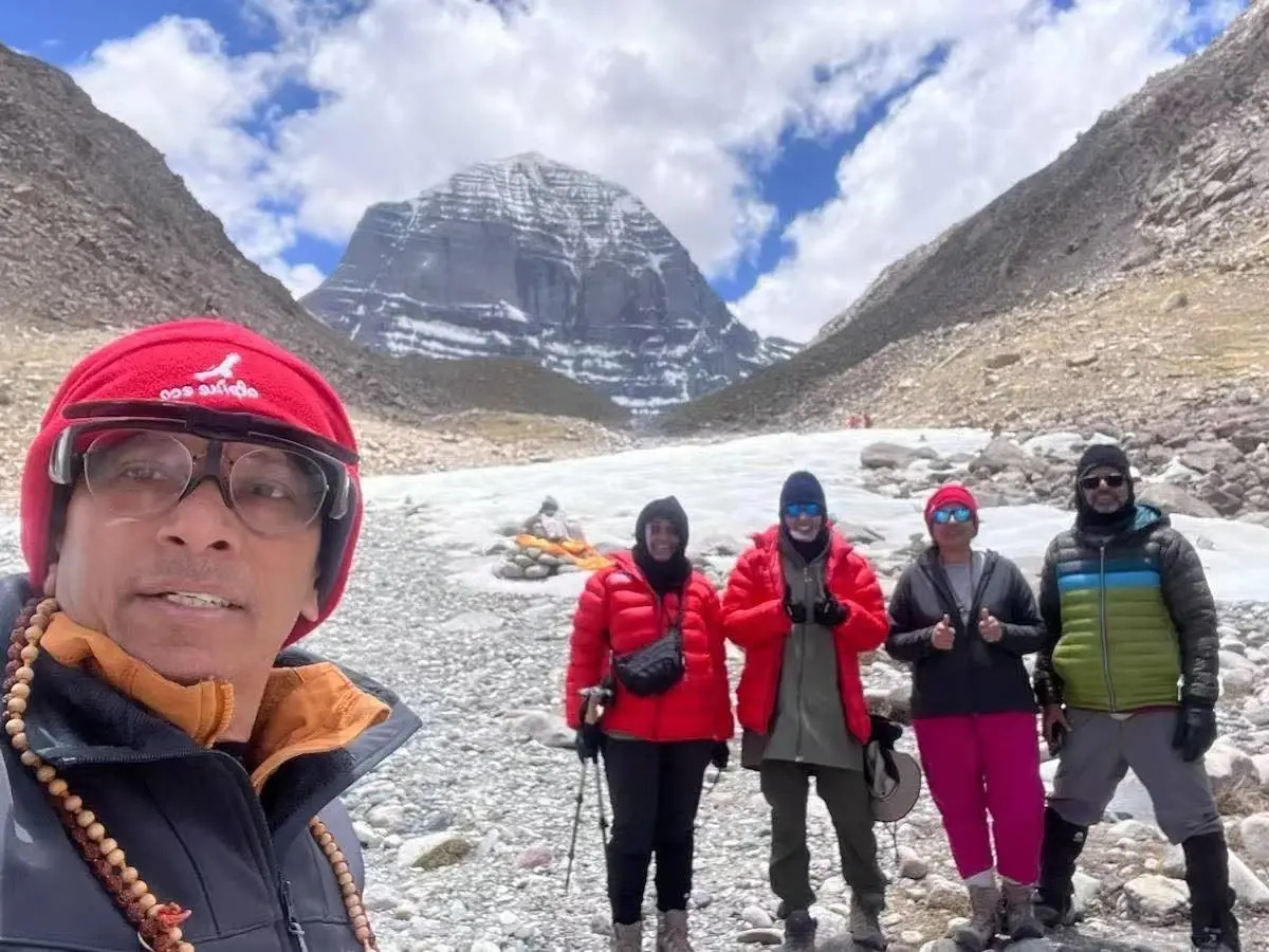
At Dirapuk, the north face rises so close it seems to lean over the guesthouse. Later, Gauri Kund waits below the pass, and Zuthulpuk holds the cave of Milarepa, a Tibetan saint known for his poetry and his austere life!
For photographers, the best light on the north face falls at dawn and late afternoon. Keep your camera inside your jacket on cold mornings, because batteries lose power quickly, and carry a spare.
Remember that people matter more than pictures, and ask before you photograph a pilgrim!
The Kailash Kora Explained: Stages, Distances and Customs
Embarking on the Kailash Kora is more than just a high-altitude trek! It is in fact a profound pilgrimage steeped in spiritual significance and physical endurance.
Just so you know: traversing this sacred circuit requires a deep understanding of its challenging terrain, traditional customs, and carefully mapped-out stages.
To help you prepare for the journey ahead, let's break down the route day by day, examining the distances, elevations, and cultural practices you will encounter along the way.
Three Days in Numbers
The outer kora measures about 52 km, though sources vary from 52 to 58 km depending on where they start counting. We split it like this:
| Day | Walk | Distance | Climb and descent | Night |
| 8 | Yama Dwar to Dirapuk | About 12 km (about 5 hours) | Net gain of about 200 m | Dirapuk, 4,890 m |
| 9 | Dirapuk over Drolma Pass to Zuthulpuk | About 22 km (about 10 hours) | Up about 740 m, down about 850 m | Zuthulpuk, 4,790 m |
| 10 | Zuthulpuk to near Darchen | About 12 km (about 3 hours) | Gentle descent | Taklakot, by vehicle |
A deluxe vehicle drives you the 6 km from Darchen to Yama Dwar, and the kora starts on foot from there. Driving from Darchen or Yama Dwar to Dirapuk is prohibited, so the whole stretch must be walked or ridden by pony.
Why Clockwise, and Why Some Walk the Other Way?
Hindus, Buddhists and Jains keep the sacred center on their right as they walk.
On the other hand, followers of Bon go the other way, and they have done so for centuries! When you meet them on the trail, nobody steps aside or argues. Both groups are simply praying.
The Pilgrim's Arithmetic
Tradition gives each circuit a value! One kora clears the sins of a lifetime. Thirteen circuits qualify a pilgrim for the inner kora around Nandi Parvat, and 108 circuits are said to bring liberation.
Note: The inner circuit needs more time and special permission, so it is not part of this tour!
Walking Beside Pilgrims Who Prostrate
Some Tibetan pilgrims cover the whole circuit by lying full length on the ground, standing, and doing it again. It can take weeks!
If you meet one, step off the path, say nothing and do not photograph without a nod of permission.
Others run the entire circuit in one day, starting in darkness. Both approaches are part of the same living tradition.
Pace, Rest and Pony Etiquette
The best kora pace is slower than you think. Take 1 short rest every hour, drink at each stop, and keep a rhythm you can hold while talking.
If you hire a pony, the handler walks beside you and controls the animal. Mount only when the handler is holding it, lean forward on uphills, and avoid sudden moves.
Ask your guide how long each pony hire covers, and agree on payment and tip at the start. A pony is a tool, not a guarantee.
Lastly, cold air bites a rider harder than a walker, so wear one more layer than you think you need!
Small Habits That Show Respect
Do not leave clothing, hair or coins on the trail unless your guide explains the local custom.
At the pass, tie a flag if you wish, say your prayer and then walk on. The wind there is cold, and the altitude does not reward long pauses!
Short on Time? The One-Day Option: If 3 days feels too long, you can walk from Yama Dwar to Dirapuk, a stretch of 12 km that takes about 5 hours. You get a full darshan and the sunset view of the north face of Kailash, and then return to your Darchen hotel by vehicle. The vehicle and the Darchen stay are extra and at your own cost.
Why Hilsa Route Matters After the 2026 Nepal Flood?
The 2026 flash floods severely disrupted traditional eastern overland routes to Tibet, fundamentally altering Himalayan travel logistics.
As major eastern border posts face extensive repairs, attention has shifted dramatically toward the western corridors!
Here is a look at why the Hilsa route has become an essential gateway for travelers looking to bypass eastern disruptions and reach Kailash safely this season.
A Flood in the East Pushed Travel West
On 26 August 2026, a flash flood tore through the Bhote Koshi gorge on the Nepal-Tibet border.
It destroyed the Rasuwagadhi border post and customs yard, then raced south through Timure and Syabrubesi. As per reports, it was an ice and rock avalanche after a boulder from Langtang Lirung fell!
The road suffered most. Nepal's Department of Roads reported that about 40 km between Galchhi, Betrawati and Rasuwagadhi was wiped out, along with 41 bridges. That road had been the main overland link between Kathmandu and Kerung.
As of now, nobody has announced a date for tourists to use it again, and officials hinted that the rebuilt road might follow a different alignment!
What Happened at Hilsa Instead?
Operators in western Nepal saw demand rise fast! The Association of Kailash Tour Operators Nepal said nearly 15,000 Indian pilgrims had booked this route by mid-May 2026, against about 6,500 in 2025.
Moreover, five private helicopter companies began flying from Simikot that month, and Nepal's immigration office at Hilsa counted 6,010 crossings by early October!
The Hard Limit Is Snow
Then the season ended in a day! On 2 October, heavy rain and snow closed the Hilsa to Taklakot crossing and stranded 41 Nepalis at the border.
Snow lay 2 to 2.5 feet deep on the Nepal side. The border reopened sooner than the road did.
For 2027, that gives you a simple lesson! Hilsa works well between late spring and early autumn, but you should pick a date well inside that window rather than at its edge.
How This Changes Your Planning?
Three practical steps follow from these facts:
First, book early, because helicopter seats and Taklakot rooms are limited in peak weeks.
Second, keep your leave flexible by adding 2 spare days after the program.
Third, buy travel insurance that covers weather delays, and read the exclusions before you pay.
These steps cost little, and they protect the whole trip!
Other Ways In and What We Recommend for 2027
Every road to Kailash from Nepal trades something away. Here is where each stands for 2027, as far as we know today:
| Route | Length | Status | Our View |
| Hilsa by helicopter (this tour) | 11 days | Open in season, roughly May to early October | Our main recommendation |
| Kerung via Rasuwagadhi | 14 days | Road and border post damaged in August 2026 | We sell it only after official confirmation |
| Kodari to Zhangmu | 14 days | Reopened to tourists in September 2023 | Possible, but exposed to landslides and customs decisions |
| Fly to Lhasa, then drive west | About 16 days | Not affected by the flood | Gentler on the body but a bit longer trip |
| Trek from Simikot to Hilsa | 18 days or more | Seasonal, closed by snow in October | Best for fit trekkers with time |
If you are healthy, short on time and traveling between late May and September, the helicopter route is a strong choice. In case you worry about altitude, ask about our Lhasa flight program instead! It gives your body a slower start. We reconfirm routing 45 to 60 days before every departure, and we re-book rather than gamble with your trip.
Best Time for the Kailash Mansarovar Helicopter Tour
The crossing follows the weather, not the calendar, and the usable season is shorter than most guides admit. Here is how the months compare:
| Period | What to expect | Our view |
| May | Crossing open, drier roads, very cold nights at Dirapuk | Good and quieter than June |
| June | Peak season with long days and full lodges | Excellent, but book early |
| Mid-June | Saga Dawa festival at Tarboche | Powerful but crowded |
| July and August | Dry in Tibet, but monsoon cloud on the Nepal side | Possible, with more flight delays |
| September | Clear air and thinner crowds | Often the best balance |
| Early October | Snow can close the border, as on 2 October 2026 | Risky |
| November to April | Border closed and guesthouses shut | Not suitable |
Cold is the constant! At the Purang weather station (3,900 m), the July mean sits near 14.7 degrees Celsius, and January falls to about minus 7.4.
Darchen and Dirapuk are far higher, so nights drop below freezing even in midsummer. Rain is rare, at about 150 mm a year!
Daily rhythm matters as much as the month. Mornings are cold and clear, afternoons are warm in sunlight and sharp in shade, and evenings drop quickly.
Wind usually rises after midday. This is why our long days start before sunrise and why we ask you to keep your warm layers within reach at all times.
Saga Dawa Duchen marks the Buddha's birth, enlightenment and passing, and it falls in mid-June 2027. Thousands of pilgrims gather at Tarboche, and rooms fill months ahead. If you prefer calm, travel a week either side.
Also watch Nepal's autumn festivals. Dashain and Tihar push up domestic flight demand, and seats to Nepalgunj and Simikot can vanish quickly!
Choosing by Traveler Type
- Senior pilgrims often prefer late May or September, when roads are drier and crowds are thinner than in mid-June.
- Professionals with fixed leave should avoid Saga Dawa unless they are sure of their dates, because it fills fast.
- Pilgrims with limited mobility should travel outside peak weeks, when ponies and porters are easier to arrange.
- Devotees who want the festival atmosphere should book early and accept the crowds.
Difficulty Level and Altitude Profile of Kailash Mansarovar Helicopter Tour
We rate this tour moderate to hard. However, it needs no ropes and no ice axe. What makes it demanding is how altitude, cold and long days combine on day 9.
Reading the Effort Scale
Our days fall into 3 groups:
- Days 1, 2, 3, 4 and 6 are easy, because you ride, tour or rest.
- Days 5, 7, 8, 10 and 11 are moderate, with long travel, changing altitude and early starts.
- Day 9 is hard. It combines the pass, the cold and a 22 km walk, so it is the day to save your strength for.
Here are the sleeping altitudes you will experience:
| Place | Sleeping altitude in meters | In feet |
| Kathmandu (days 1, 2 and 3) | 1,400 m | 4593 ft |
| Nepalgunj (day 4) | 150 m | 492 ft |
| Taklakot (days 5 and 6) | 3,900 m | 12795 ft |
| Lake Manasarovar (day 7) | 4,590 m | 15059 ft |
| Dirapuk (day 8) | 4,890 m | 16043 ft |
| Zuthulpuk (day 9) | 4,790 m | 15715 ft |
| Taklakot (day 10) | 3,900 m | 12795 ft |
| Kathmandu (day 11) | 1,400 m | 4593 ft |
The Day 5 Jump
On day 5, your sleeping altitude rises by about 3,750 m. The Wilderness Medical Society also advises no more than 500 m a day above 3,000 m and treats a single-day jump above 3,500 m as high risk.
That’s the reason we are breaking the rule at Day 5, and days 6 to 10 follow it. We say this plainly because you deserve to hear it before you book!
Who Finds It Hardest?
The answer surprises most people! Research on tourists in Lhasa linked younger age, poor general health and fast ascent to altitude sickness, and earlier altitude experience lowered the risk.
So, a fit runner can still struggle, and a patient 65-year-old who has trekked before may cope well.
Train for 8 to 12 weeks with long walks, stairs and a loaded daypack. If you have heart, lung or blood pressure conditions, see your doctor first.
A Note for Limited Mobility
Ponies and porters make the kora possible for many who doubt their legs! They do not change the cold or the altitude, and a rider needs more layers than a walker. Tell us about your limits at booking, and we will tell you honestly whether the route fits.
Altitude Sickness on the Kailash Tour: Prevention and Response
High-altitude travel demands respect, preparation, and proactive management.
When ascending rapidly into the remote landscapes of Tibet, recognizing the early physiological warning signs of altitude sickness can make the difference between a safe journey and a medical emergency!
Here is what you need to know about how your body responds above 3,000 meters, how our medical monitoring keeps you safe, and the practical steps our team at Alpine Eco Trek takes to protect your health every step of the way.
What Happens Above 3,000 m?
Air pressure falls as you rise, so each breath carries less oxygen. Your body responds by breathing faster, and that can disturb sleep!
Many people wake often at 4,500 m, and some feel short of breath when they lie down. Most of this is normal, and it eases as you adjust.
How Do We Monitor You?
Our guides ask direct questions each morning and check your oxygen level with a pulse oximeter.
A reading falls with altitude, so we watch the trend and your symptoms, not one number. We also compare each reading with the baseline we record in Kathmandu on day 2.
Medicine to Discuss With Your Doctor
Many doctors prescribe acetazolamide (Diamox). The 2019 Wilderness Medical Society guidelines list 125 mg every 12 hours for adults, started the day before ascent.
On this itinerary, that would be day 4 in Nepalgunj. The drug can cause tingling and frequent urination, it is a sulfa derivative, and it does not suit everyone.
Sleeping Better at 4,600 m?
Sleep is the first thing altitude disturbs. Keep your head slightly raised, wear a warm hat in bed and keep a bottle of water within reach.
Avoid sleeping pills, because they slow your breathing. If you wake gasping for a few seconds, it is probably the normal pattern of uneven breathing at height, but mention it to your guide in the morning.
Eat a light dinner and avoid heavy meals late at night. Also drink to thirst, with pale urine as your guide, rather than forcing huge amounts of water.
Warning Signs of AMS
Mild symptoms include a headache, nausea, dizziness and poor sleep. Stop climbing, rest and tell your guide!
Two conditions need immediate descent and oxygen:
- High altitude cerebral oedema (HACE) brings confusion and a stumbling walk.
- High altitude pulmonary oedema (HAPE) brings breathlessness at rest and a wet cough.
Day 6 is a Decision Point
If someone is clearly unwell in Taklakot, our guide may keep them there or arrange a return to lower ground, flights permitting.
That call is far easier in a town with a hotel than on the kora. Speak up early, and your guide will have choices. Speak up late, and the choices shrink!
Oxygen on the Tour
We provide oxygen in the vehicle while you drive, and in your guesthouse in the morning and evening.
For the kora, it is wise to buy 2 extra cans of oxygen before you start walking, in case of an emergency on the trail. Our guide will tell you where to get them.
Accommodation in Nepal and Tibet
Our team at Alpine Eco Trek arranges accommodation according to the facilities available at each stop.
In Kathmandu, we use Hyatt Centric or Radisson hotels, with the exact hotel confirmed according to the booking. Your Kathmandu hotel stay is on a full-board basis, with meals included in the package:
- Kathmandu, nights 1, 2 and 3: Hyatt Centric or Radisson, subject to the confirmed booking.
- Nepalgunj, night 4: An air-conditioned hotel, which you will appreciate after the heat.
- Taklakot, nights 5 and 6: Heated hotels with simple rooms. Hot water can be limited, so take short, warm showers.
- Lake Manasarovar, night 7: A basic guesthouse near the shore. Rooms may be shared, there is no attached bathroom and nights are cold. For more comfort, the 5 star Mansarovar Hot Springs Hotel is available at US$ 250 per night for a double room, which is an extra cost. Ask us to arrange it or contact the hotel directly.
- Dirapuk, night 8: A very basic guesthouse with dormitory-style beds, no attached bathroom, outdoor toilets, no showers and solar lighting for a few hours.
- Zuthulpuk, night 9: Similar to Dirapuk, with no attached bathroom and a yak-dung stove warming the common room.
- Taklakot, night 10: The same heated hotel, and a welcome shower.
- Kathmandu, night 11: If the return flights operate as planned, you arrive in Kathmandu on Day 11. If delays affect the journey, an additional overnight stay may be required.
Note that Lake Manasarovar, Dirapuk and Zuthulpuk have no attached bathrooms at all!
In our hotels in places such as Lhasa, Shigatse, Saga, Darchen and Nyalam, every room has an attached bathroom and an oxygen setup. On this route, that applies to Darchen if you choose to continue there from Gauri Kund.
Roommates matter more than usual on this route, because you share a cold room on the kora. Choose a companion who snores little, wakes early and tells you when something feels wrong!
A single supplement is available in Kathmandu, Nepalgunj and Taklakot. Beyond that, rooms are shared.
A silk liner rated to about minus 10 degrees Celsius make cold nights easier, and earplugs help in shared rooms.
Equipment we provide
- Our Alpine Eco Trek team hands over the following items once you land in Kathmandu (included in the package):
- Special down jacket for the kora
- Warm hat that covers the ears
- 1 large duffel bag for your main clothing
- 1 trekking bag for the kora
- 1 rain poncho
Note: Guests on Lhasa departures receive the same items from our crew in Saga.
Meals and Drinking Water on the Tour
Alpine Eco Trek operates the Simikot Kailash Helicopter Tour on a full-board basis, with meals included throughout the itinerary according to the package arrangements.
Food is an important part of our service, supported by our own team of expert cooks, experienced guides and insured staff.
Our team specializes in pure vegetarian Indian food, including South Indian and Nepali dishes. This helps guests enjoy familiar meals during a journey through remote parts of Nepal and Tibet.
Our Nepali staff accompanies your Simikot group from Kathmandu and supports the meal arrangements throughout the trip.
Food options become more limited as you travel farther into the mountains. At the lake and on the kora, guesthouse facilities and available menus may be basic, so our team will explain the arrangements for each stop before departure.
If you have a food preference, such as Jain food or meals without onion and garlic, tell our staff once you land in Kathmandu. They will then do the shopping accordingly before the group heads into the mountains.
Even when your appetite decreases at altitude, try to eat regularly. Rice, vegetables, soup and other suitable meals can help you maintain your energy during long travel days and the kora.
Moreover, carry personal snacks such as nuts, dried fruit, chocolate and glucose sachets for the walking days, when shops and food stops are limited.
Our team provides 3 litres of pure drinking water for each guest every day. Follow your guide’s advice and do not drink directly from lakes or streams, including Lake Manasarovar. A reusable bottle and purification tablets make a useful backup.Also, avoid alcohol as it can hamper acclimatization, and tell us about any food allergies or dietary requirements before departure so our team can discuss the available arrangements with you.
Also, avoid alcohol as it can hamper acclimatization, and tell us about any food allergies or dietary requirements before departure so our team can discuss the available arrangements with you.
Transportation: Flights, Helicopters and Roads
Reaching Kailash via the western route is less of a standard journey and more of a multi-stage logistical relay.
From commercial airlines and remote mountain airstrips to chartered helicopters and overland vehicles, every leg of the trip depends on precise timing, changing weather windows, and strict weight regulations!
Here is how the transportation network connects you seamlessly from Kathmandu to the Tibetan border.
The Relay of Six Vehicles
This journey is a relay!
A plane takes you to Nepalgunj, a second plane takes you to Simikot, a helicopter takes you to Hilsa, a coach takes you across Tibet, and the kora is on foot.
Ponies and yaks help on the circuit. However, each handoff has its own limits.
Weight Rules Everything
Thin air reduces what a helicopter can lift, so pilots load by weight. A lift carries 4 or 5 people, and each traveler is allowed about 20 kg of baggage.
That’s why we ask you to keep the large duffel bag we provide to about 10 to 15 kg. Soft bags fit awkward cargo spaces, and the spare weight leaves room for holy water on the way home.
Leave anything extra at your Kathmandu hotel or let our Alpine Eco Trek team handle it for you.
What Your Bags Do on Day 5?
Your duffel does not always travel with you. On a helicopter day, bags can fly on a different lift, and they may reach Hilsa after you do.
For this reason, keep your passport, a warm layer, medicines, water and snacks in your day bag. We also collect your weight discreetly at booking, because the pilots need accurate numbers to load each lift safely.
Why We Fly Early?
Cloud and wind build in the Karnali valley by midday.
Our groups take the first slots, because a delay of 2 hours can turn into a delay of a day! If the first plane cannot fly, every later link slides.
Seats, Windows and Motion Sickness
In a deluxe bus, we rotate seats each day so that everyone gets a front seat and a window.
Road bends are frequent, so people who feel queasy should sit near the front and take a tablet before the drive.
Furthermore, keep a small day bag within reach, because digging through luggage on a moving road is unpleasant!
Roads in Tibet
Drivers are local and know the check-posts well. Small groups use a van, and larger groups use a coach with a baggage vehicle.
Some stretches near the lake basin are rough and dusty. That means a vehicle that reaches a checkpoint early must wait, so drive times are estimates, not promises!
Travel with experienced guides and our Nepali team, supported by insured staff and our own expert cooks, who specialize in pure vegetarian Indian food, including South Indian and Nepali dishes. For this Simikot departure, our Nepali staff accompanies you from Kathmandu.